English
 Français
  Deutsch
 Machine Control that evolves along with your needs
Intuitive excavator guidance
Why 3D ?
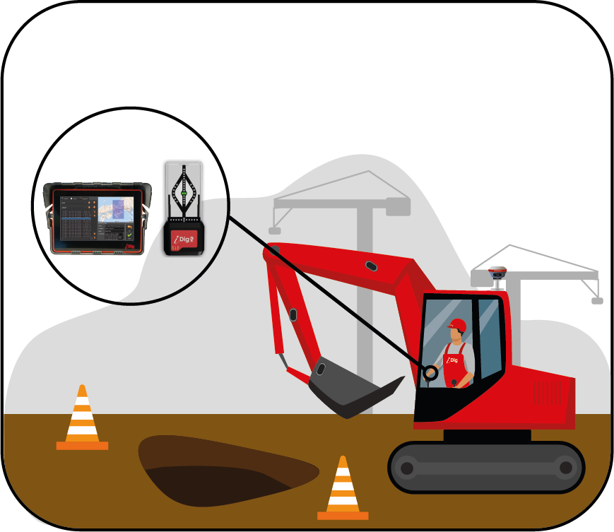
The 3D guidance system allows you to have your site project with all its dimensions in your cabin. Using the GNSS installed on your excavator
you will see the dimension to be reached at the tip of your bucket.

Why choose the iDig 3D system ?
The new iDig 3D is a simple and user-friendly
tool that is designed with the operator in mind!
Since 2007, iDig has been improving the daily lives of thousands of excavator operators on all continents. With the iDig 3D, upload your project to the iDig control box in your cab or create small projects with your GNSS on a rod or with your bucket and let it guide you from your cab.
The iDig 3D works
with all GNSS
that can provide
a NMEA frame via
Bluetooth
Why is the iDig 3D the right tool for you ?
Thanks to a single detachable GNSS antenna,
you can pick up points for surveying or mapping.
The one-time calibration the iDig 3D GNSS system can be done in under two hours. You are guided step by step with clear instructions on the control box.

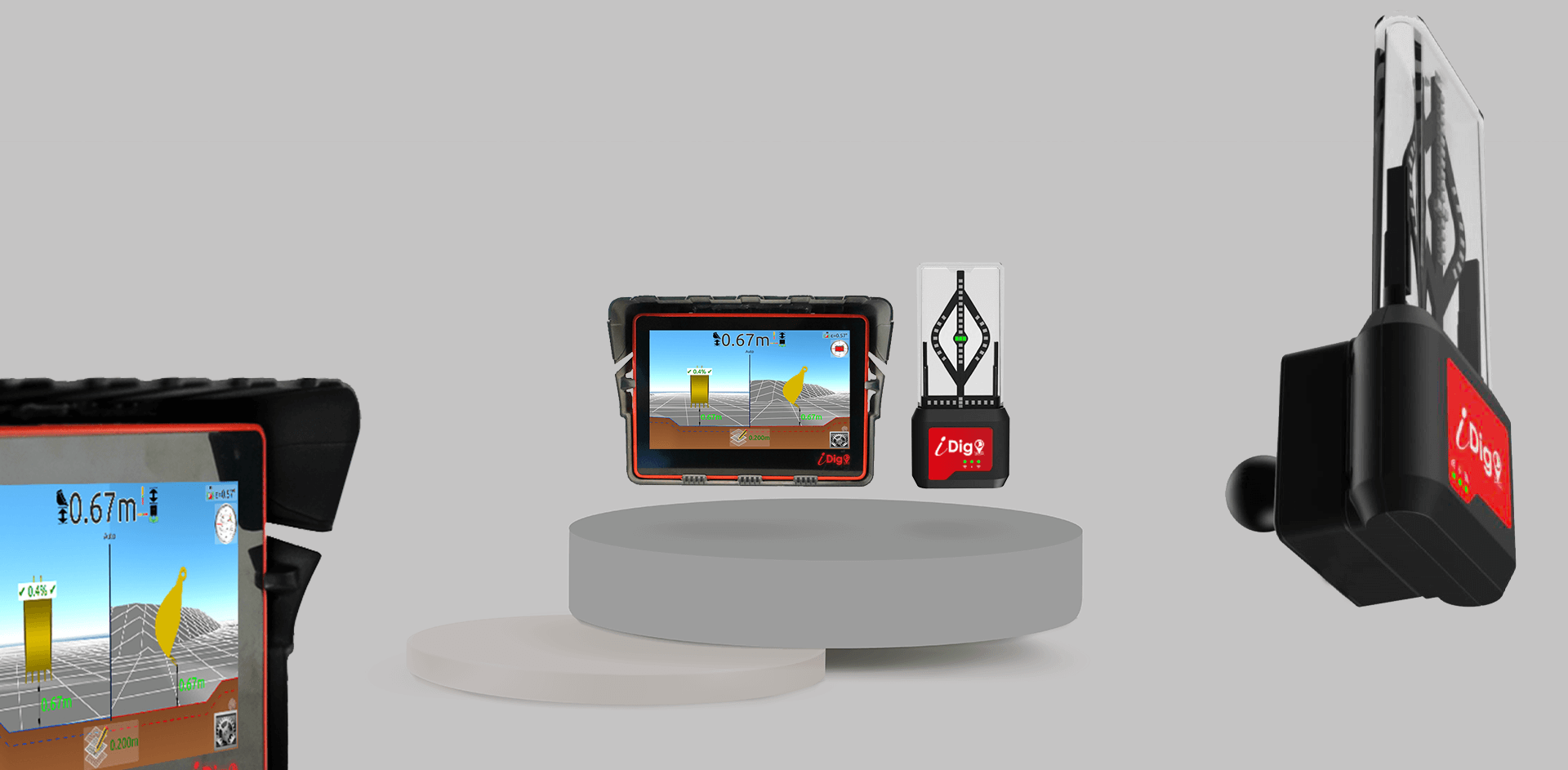
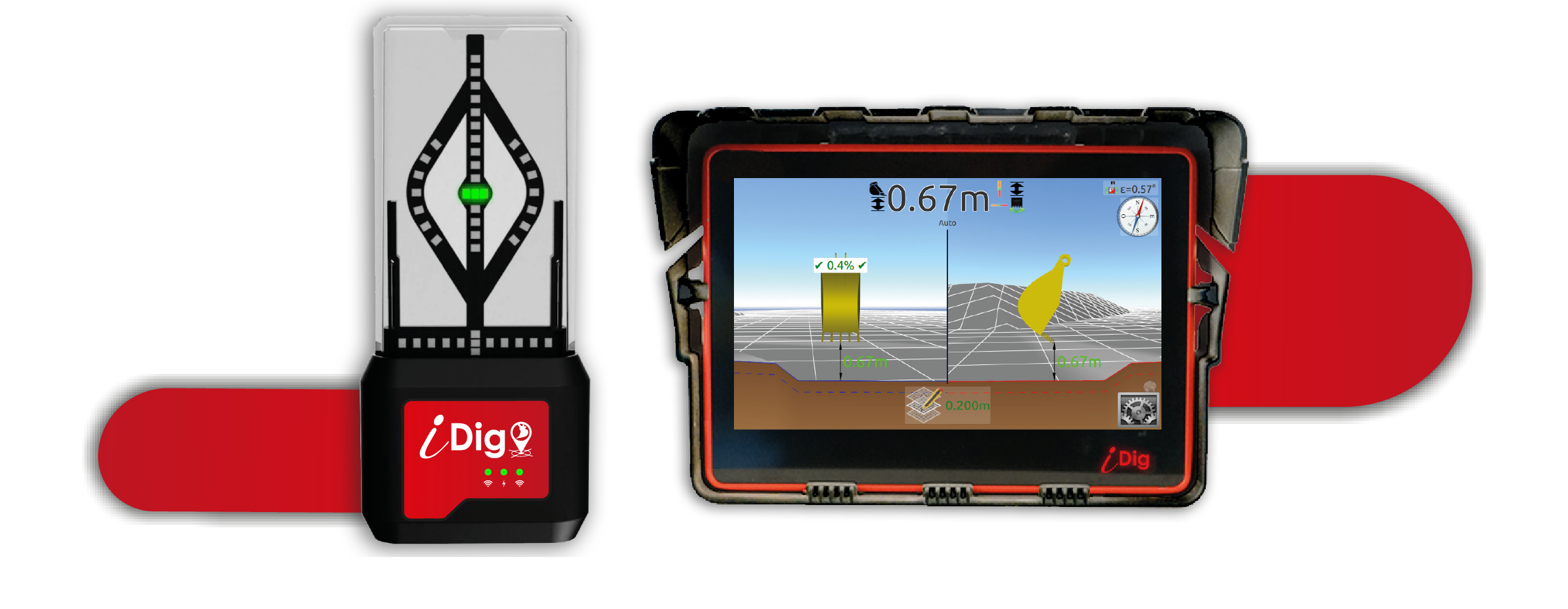
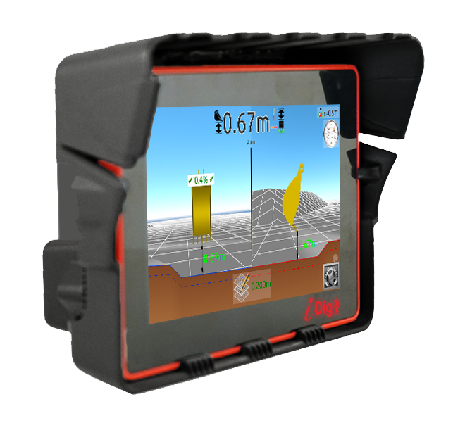
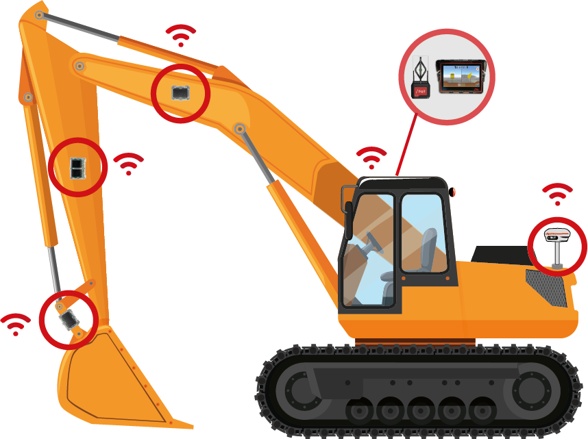
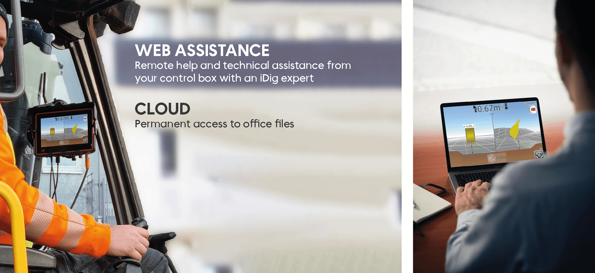
CONTROL BOX
A new powerful (Dual Core) and robust control box, equipped with patented software designed with excavator drivers for easy and intuitive use.

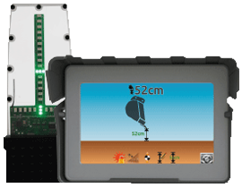
LED BARGRAPH
A real assistant in your cab. It is placed in the same field of vision as your bucket. Thanks to its green, orange and red LED display, it guides you with accuracy and in real-time.

SENSORS
First 3D cablefree system with Bluetooth 5 sensors. They are recharged with solar power. Our new generation system communicates 100 information per second.

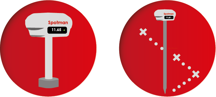
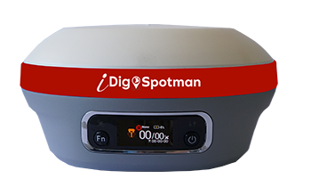
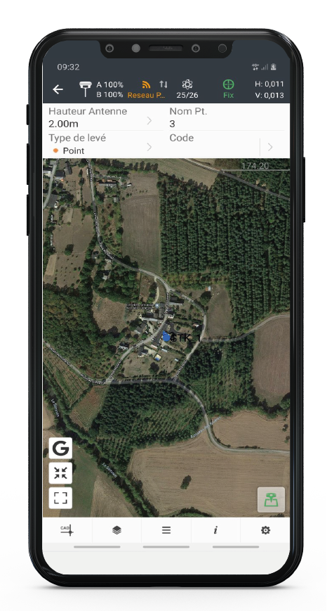
GNSS SPOTMAN
With only a few hours of training, this tool that allows you to survey, control and measure all your points (e.g. stakes, curbs, sidewalks, trees).
You can also delimit your surfaces.
Receive all satellite signals: GPS, GLONASS, Galileo, BeiDou and QZSS.
Even with a rod that is not straight, the tilt function corrects your mistakes.
Multi-machine, The iDig easily transfers from one excavator to another in a few minutes without having to invest in another excavator guidance system.
Safety, no longer need a rodman. You go faster and avoid the risks of accidents. Reduce wear on your back and knees. No longer need to constantly get off your excavator to check your dimensions.
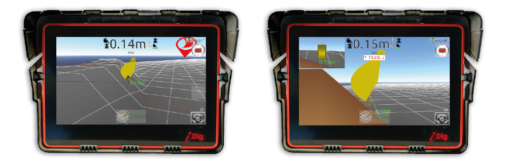
AUTOMATIC ZOOM
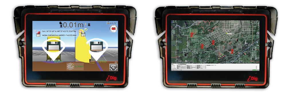
Localization of your sites thanks to the “Open Street Maps” function, geographic map in free access & offline
How does the GNSS connected to the iDig 3D work?
- Finally a 3D system that works with a single GNSS antenna.
- Removable for surveying points with a rod.
- Easy to use with no qualification required, beginners get started in less than half a day.
- Full 3D rendering: 3D navigation and perspective views.
- Accepts digital terrain models in DXF or LandXML format.
Spotman CT140T, do both surveying and guiding your excavator with your iDig 3D system with a single GNSS
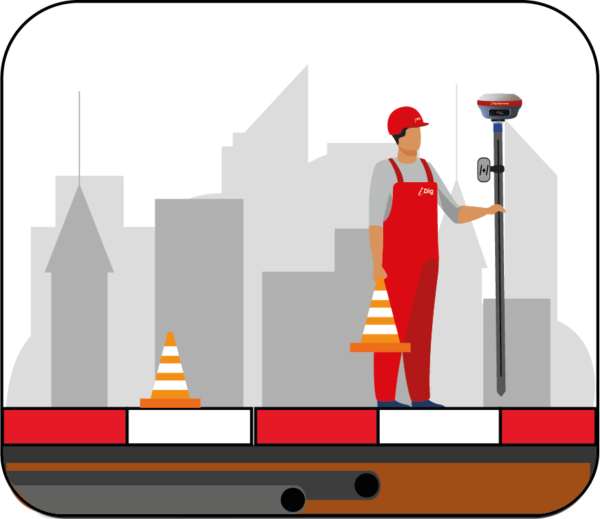
Survey the terrain and locate buried utilities for estimating purposes. Draw up your plan based on drawing calculations.
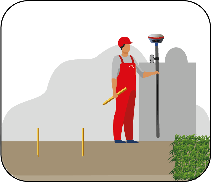
Make the reference points yourself on your site.
No need for stakes to delineate the area.
Integrated with the iDig system, carry out your project, dig, grade and locate your excavator in 3D.
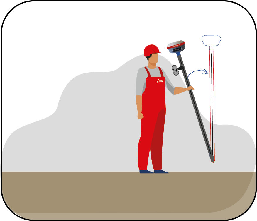
The SpotMan has a Tilt feature that will help you calculate the correct vertical measurement and avoid errors.
iPoint software, available for Android, allows you to accurately set up all your work points and collect your measurements. Numerous file import and export formats and several types of measurement and layout methods are available and guarantee instant productivity.
You can prepare your 3D data in DXF for small projects and upload it to the control box without having to use project software.
iPoint makes positioning in the field more convenient and thanks to its simple user interface, it is accessible even to beginners.
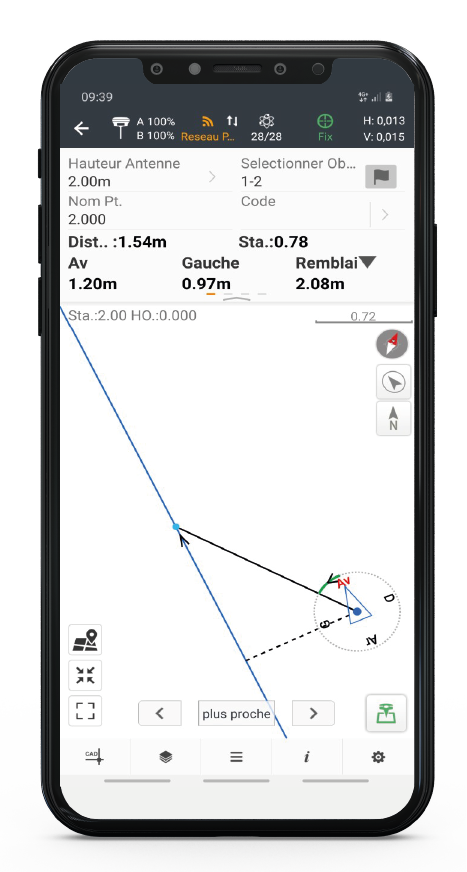
Implantation
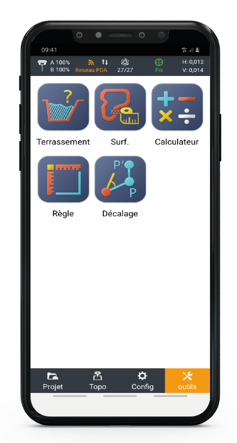
Cogo calculation (e.g.Construction calculation, Volume, Surface, Distance)
Graphic view with background
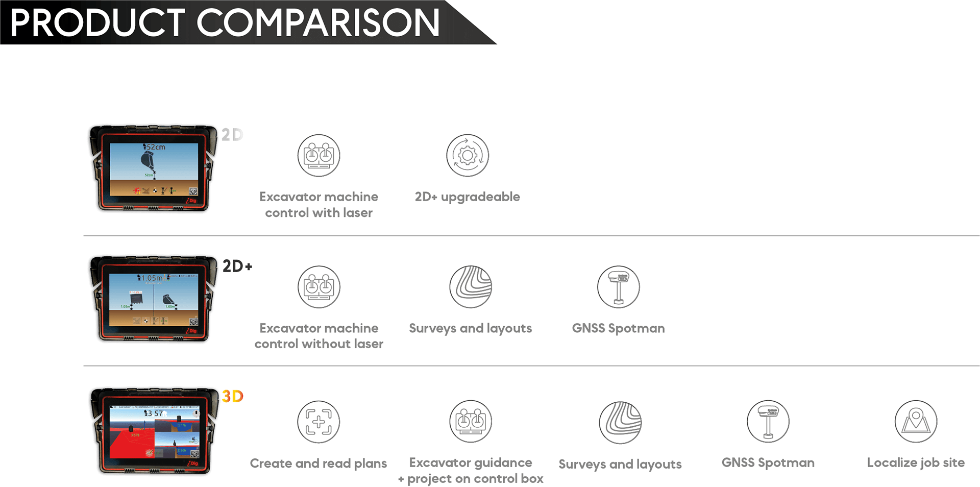
Find the iDig that meets your needs
With the iDig 2D, you can enter the desired slope and depth in relation to a reference and dig precisely without needing a rodman or constantly getting out of your cabin.
With the iDig 3D, you can create small projects with your GNSS or
enter more sophisticated projects created by a surveyor or a project manager.
IDIG TOUCH 2D
Solar powered cablefree angle sensors
Radio transmission (10 Hz)
Ideal for platforms
IDIG CONNECT 3D
Solar powered cablefree angle sensors with Gyro IMU
Transmission via Bluetooth 5 (100Hz)
Ideal for roads, platforms, large projects
A single removable and versatile GNSS for surveying and layout as well as for guiding your excavator
FULL 3D rendering: 3D navigation and cross-sectional and perspective views
Automatic zoom
How to choose your CONNECT?

“iDig allows us to bring a complementary solution to our customers”.
Philippe Matevet
Sales Director at Alliance Compacts France
Most of our customers get a return on their system within 3 to 9 months